Overlay maps
The existing maps have not only been digitized and contextualized in the course of the project „Austrian Dialect Cartography 1924-1956. Digitalization, Contextualization, Visualization.“ but – as is evident by the project’s name – they have also been visualized. This means that certain maps have been georeferenced completely. Georeferencing is the addition of spatial information to a set of data. In our case, this means that the historical maps in our collection are enriched with current geographical data, facilitating a comparison between historical and contemporary geographical spaces and or/their representation.
The georeferencing was carried out with the help of the open source program QGIS3. Following on from this, the next step was visualization. The application in which the georeferenced maps are displayed allows users to choose which map to view in the context of a particular type of visualization – for example, overlaid on top of Google Maps. Users can adjust the degree of transparency for the historical map to better comprehend its relations to the present-day cartographical visualization.
We divide the georeferenced maps into two groups: First, we chose maps with a relation to geopolitics, persuasive cartography (propaganda cartography) and cultural geography. Secondly, we chose maps assigned to the category “basemap”. For more information please take a look at Basics concerning the category „basemap“.
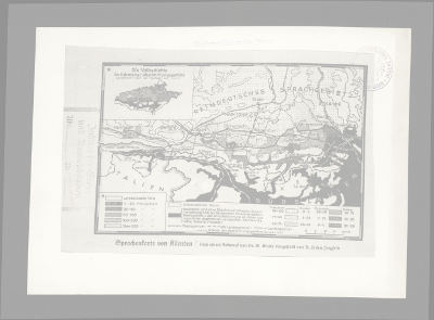 |
This map gives a demographical and linguistic overview about the linguistic circumstances in Carinthia in the years 1919 and 1920. The cartographer Arnold Hillen Ziegfeld, who developed the so-called suggestive cartography, drew this map. The draft was produced by Martin Wutte. |
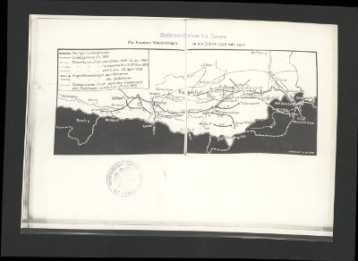 |
This map depicts the Austro-Slovene conflict in Carinthia in 1918 and 1919. It is a military map and uses different signs (arrows, frontlines) to symbolize the fights of the Kingdom of Yugoslavia and of the Carinthians. The draft of this map was drawn by Martin Wutte. |
 |
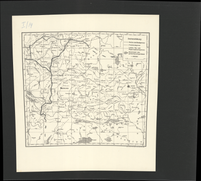
This kind of basemap was used to produce huge scaled maps on tracing paper. In this process of production, tracing paper was put on the topographical basemap and different linguistic phenomena were drawn onto it. |
 |
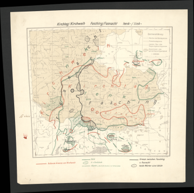
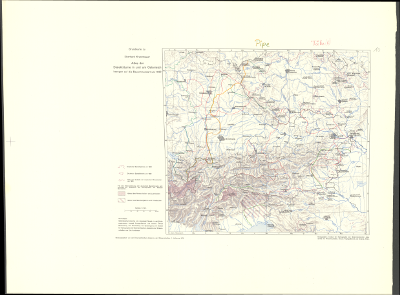
This map is titled “Bayer.-Österreichischer Mundartatlas” (“Dialect Atlas of Bavaria and Austria”) – and features a legend outside the displayed map area. The title refers to the different names of Kranzmayer’s dialect atlas during the years of its production. |
 |
|
 |
This map was produced during National Socialism, as depicted in the legend and the territorial borders. |
 |
This map has „Grundkarte“(basemap) as a title and depicts the political borders before the „Anschluss“. |
 |
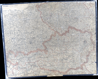
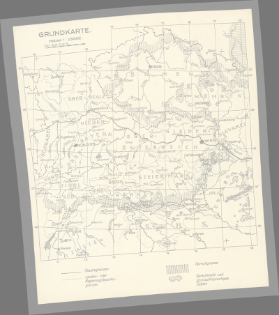
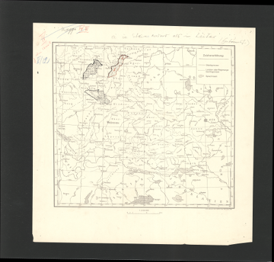
This map has the term basemap in its legend. The map depicts the nine states of Austria with the political borders of 1910. Yet, a specific date of the map is not known. |
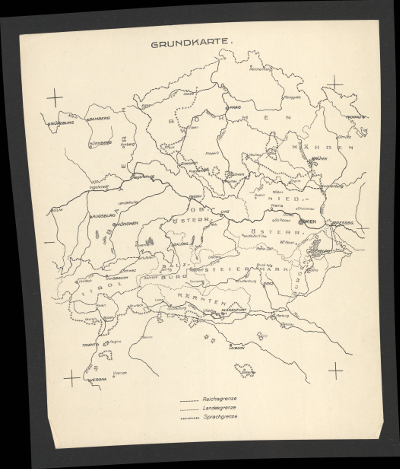 |
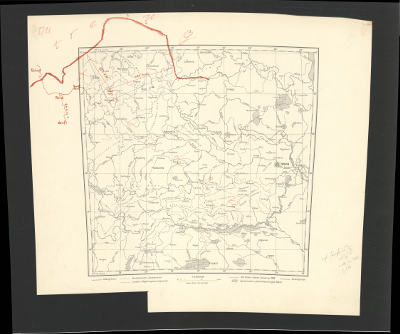
This map also features “Grundkarte” (Basemap) in the title. Besides, it displays four crosses in each corner of the map for putting a a map made of tracing paper on it. The map is set in the First Republic. |
 |
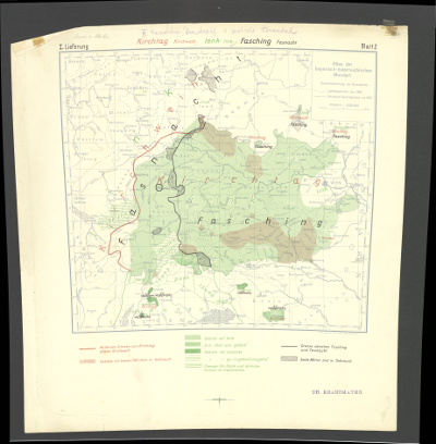
This basemap also has „Grundkarte“ (basemap) in its title and was created in the year 1970 when a second series of testprints of Kranzmayers dialect atlas was initiated. |
 |
This map has a lot of similarities with basemap 2-3 and was created during the time of National Socialism. |